Where oh where to begin? Today was a rough day. A very rough day. Fraught with cold rain, boisterous winds, high waves, hard currents, and most of all, extreme anxiety.
We had been laid up in Beaverstone Bay due to weather for two days. And, the weather did not look any more promising when we rose this morning. It had been raining and it looked like it would continue to rain all day according to the forecast on the VHF. Nevertheless, we needed to get moving south in Georgian Bay in order to meet our deadline of July 15th in Midland, ON to step our mast.
As we nosed into the inlet of the bay heading out towards Georgian Bay (Lake Huron), we were pleased to see that the seas were in a relatively calm state. The only detraction was the rain. And, it was raining hard! However, it was much better than the day before. There were not 6ft waves pounding away at the bow. So far so good.
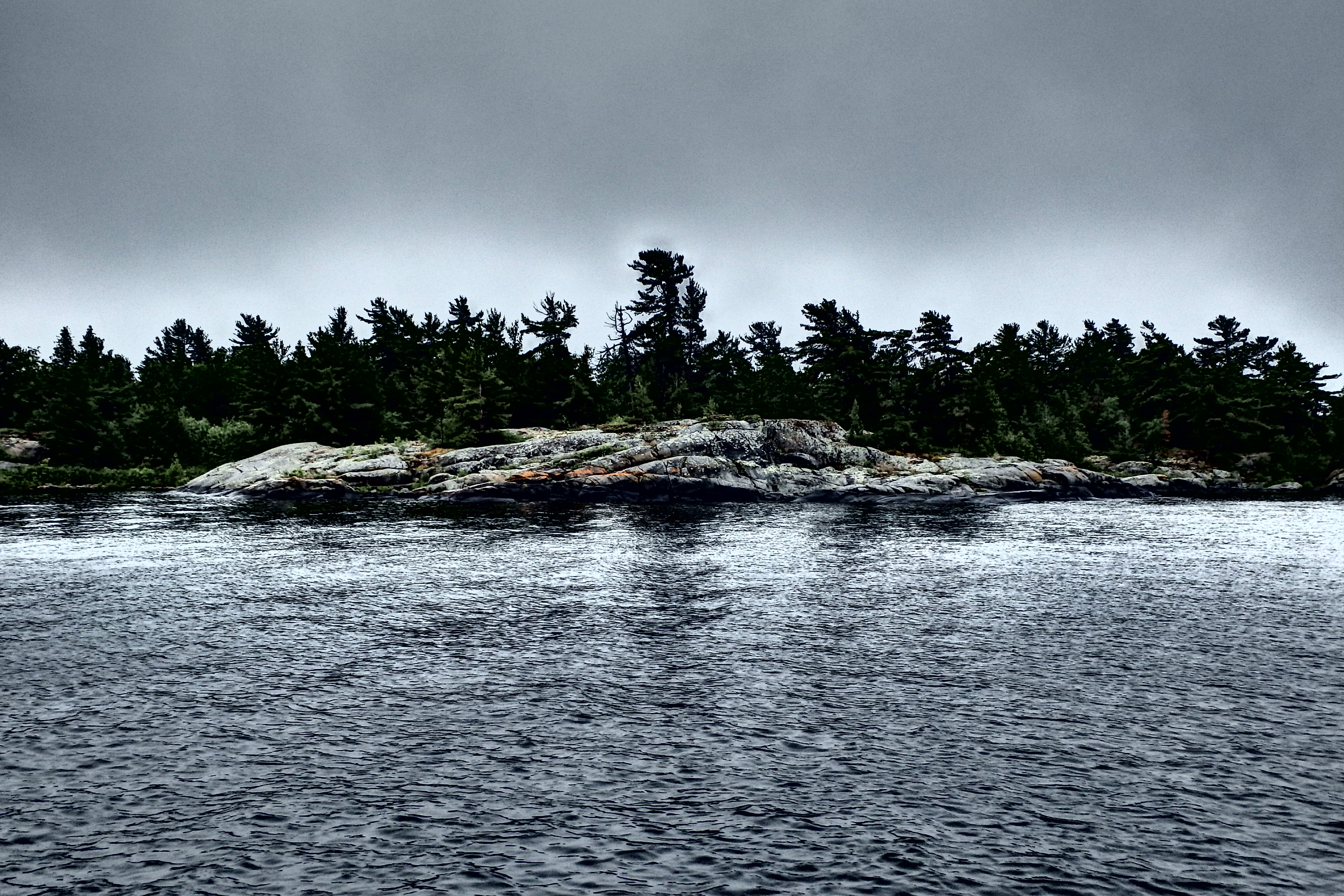
A few miles out into the bay making our way Southeast, we needed to make a call on our course. My dad really wanted to head a little further North and see the Bustards, a group of islands in the Northeastern most corner of Geogrian Bay. I expressed that, due to the weather, it would be a futile trip; full of grey rocks and grey skies. But, we were close and there was a route that would lead us down to Britt after touring the area.
As predicted (in my opinion), it was a pretty bleak scene. I’m certain that it’s beautiful when the sun is shining. But today, it was very depressed looking. After about an hour of making a semi-circle around the island, we took to the “small craft route” labeled on our chart plotter and our paper charts in order to make our way down towards Britt located in the Byng Inlet about 8 miles South.
We have been using the small craft routes throughout our trip. For the most part, without incident. There have been a few hairy times when it gets really narrow or shallow, but we have escaped unscathed. Today was different.
Having toured the Bustards along the Northeast Passage SCR (small craft route), we continued to follow it to our next SCR, the Dead Island Channel. The Northeast Passage was perfectly fine. Great depths and in relatively open water; save for a few small-well marked shoals. As soon as we passed through the entrance to the Dead Island Channel, the little man in my head was screaming at me to turn the boat around head for open water. But, of course, once through that little opening to the channel, we were committed. For, it was far too narrow at any point to turn our 45ft boat around without any damage.

So, being committed, onward we trudged. Slowly, very-very slowly. We ran issue free through the rest of the Dead Island Channel, around numerous clusters of islands without passage names, and into/through Rogers Gut. Being spit out of Rogers Gut, we meandered our way through more island chains into Cunningham’s Channel.
Throughout or progress in the SCRs along our journey through Canada, we have noticed that the red and green navigational buoys do not always align well with the GPS based chart plotter equipped on our boat. In some channels, the deviations were quite dramatic. And today, it cost us dearly.
We came to a 90 degree bend near the entrance to the Cunningham Channel. Not having our chart plotter in “heading-up mode” and in “North-up” mode, I became disoriented. Having missed our sharp turn with the boat going in the wrong direction (towards large boulders mind you), we needed to reverse (in a harsh current with high winds) with a boat that backs like a stubborn mule. Enticing the bow thruster to aid our desired direction to no avail; we were forced to full throttle-hard over on the helm to get the boat moving in the direction that we wanted. Currently pointing in the somewhat right direction, we were faced with another menacing dilemma.
Now, in Canada, it’s well know that the buoys are not always well placed in accordance with where they were in years prior. Thus, not aligning well with the digital navigation and GPS information presented on boat’s chart plotters. When making our direction change, the buoys in the channel, did not agree with what was on our charts. We made the call to trust our chart. The wrong call was made and as we glided past the green buoy to our port side, we smashed into a submerged boulder with our keel (well, at the time we prayed it was our keel).
It was a tense time. I was at the helm while my dad franticly relayed our depth information with increasing panic. We watched our depth finder plunge to 4ft just as we hit the rocks. My stomach sank and I felt numb and ill instantaneously. It’s sensation that I will never forget. Never having been in a car crash or any type of sudden wreck, this was a new experience for me. I was severely shaken and my knees wouldn’t stop shaking; no matter how hard I willed them. But, we pushed on; as we had no other options in front of us.
After grounding in the entrance to the Cunningham’s, we made our way slowly through the rest of the passages to somewhat open water. I was shaken. Not entirely sure of the state of my dad; for he is generally the calm one in situations such as that. Being the stubborn person that I am, I refused to relinquish the helm; for some small part of me was trying to regain my dignity and conquer the fear that was brewing inside my mind. To vent steam, I cursed all small craft routes up and down; to no avail, of course.
Thinking that we had made it, we entered the North channel of the Byng Inlet. There were proper buoys in the inlet and all looked well on the charts. Again, we were wrong. Soon into the channel, it became very apparent that a boat of our size should not be where we were; for there was a South channel as well (for a boat of our size). Coming to a “Y” where the end of the North channel met the South channel, we could see the buoys indicating safe passage, which our initial route disturbingly lacked. Water depths looked ok, and by ok, I mean 6ft. So, we tried our hand at crossing the gap to the proper channel.
We were greeted by another anxiety packed series of events. I had given up the helm to my dad shortly before crossing the gap; as I was completely fried from the stress and anxiety of the earlier events. I was now the relay of chart data and depth. I saw our depth plunge from 6ft to under 3ft in an instant. I was panicked and firing off depths to my dad faster than he could interpret them. Being the cool character that he is, he calmly remarked that it was probably just weeds. Which he was right; for the charts indicated a weed bed in the gap.
However, just as we thought that we were free and clear to the proper channel. We smacked into another boulder. My anxiety shot right through the roof again. We reversed a little, unsure if we had bounced off it or over it. And, sure enough, we had gone over it and it now struck us again on our way back. I made a beeline below deck and tore open the floor boards to check our bilge to see if we were taking on any water. No apparent damage. We were lucky that we didn’t tear off a part of our rudder; as it hangs at the same depth as our keel.
At this point, I had had it. I looked straight at my dad and said, “take us out of this god-forsaken channel, and let’s just anchor this thing!” But, stubborn as we both are, he was committed to getting us into Britt and to our marina. To confound the entire issue, we completely lost our navigation tools after the 2nd and 3rd impacts. We had no depth, no speed, no autopilot, and no wind (not that it mattered). Thankfully, the GPS chart plotter was still working and relayed to us chart data on depths. Even with all of this, onward we proceeded.
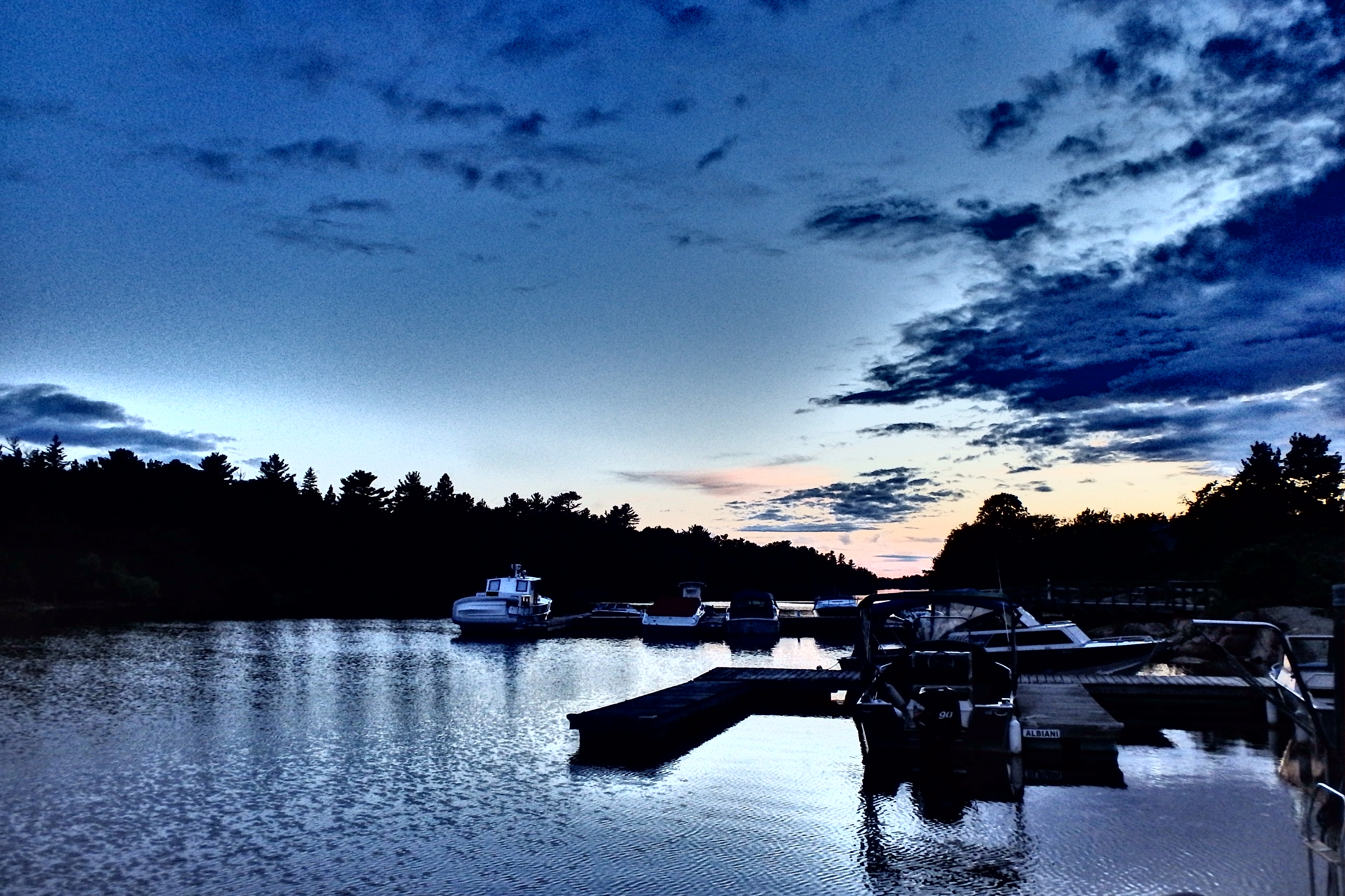
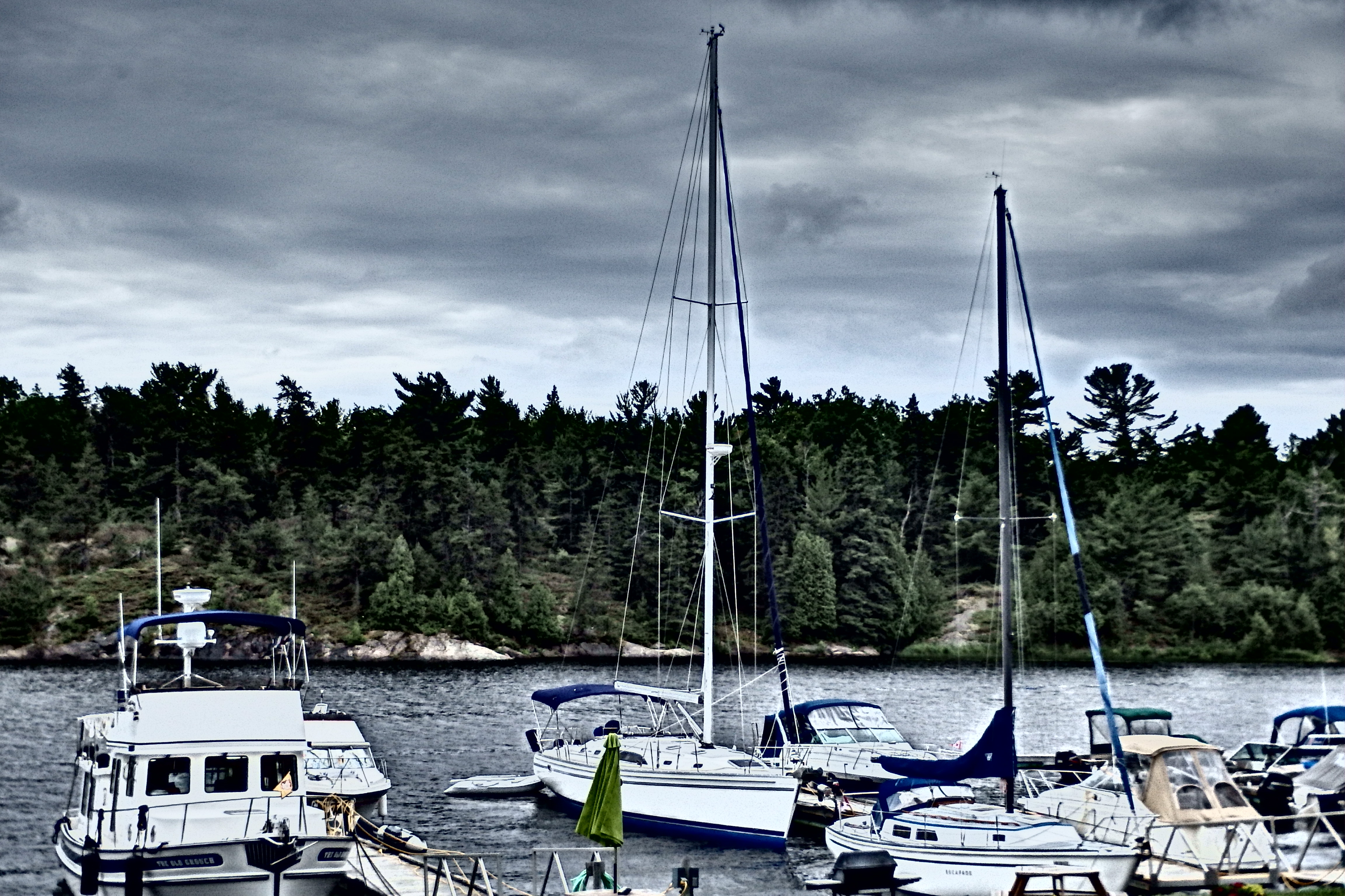
The proper channel into Britt was a good depth. The deepest we had seen all day in fact at around 35-40ft. I was still on edge, but my dad brought her in with ease. We had originally hailed a marina further up the channel, but with all of todays events, we changed plans and found a spot on the first marina we came across.
Showering never felt so good. Symbolically, I think that it actually washed away a great majority of the stress and anxiety from the day. We relaxed at dinner with a few drinks and I returned to the boat feeling better about the day. However, in writing this now a day later, I did have a “nightmare” as I was just falling asleep last night. It was of our first collision with the boulder in the Cunningham’s Channel, and as soon as we hit that boulder, my anxiety peaked and I was jolted out of my sleep; quite distraught.
I’m happy to say that the anxiety of yesterday has passed. And, I’m also happy to say that I have effectively convinced my dad to stay far-far away from any small craft routes from now until the end of time. Funny enough though, we ran into a couple on a boat next to us in the marina (Nordic 37 tug) and relayed to them our exploits from the day prior. They said that we were incredibly lucky to escape without any damage; as their first (and last!) trip through the Cunninghams cost them $5k in damage. I listened from afar as the gentleman cursed that small craft route up and down and couldn’t help but laugh and smile for some reason. We had escaped by the hairs on our chinny-chin-chin. A margin I will gladly take to the bank any day!
The weather forecast was poor again for today, so we camped out at Wrights Marina in Britt. Tomorrow looks more promising and we will make our way (IN OPEN WATER) toward Parry Sound, ON. Can’t wait to be back out and actually SAILING!